Highway Network

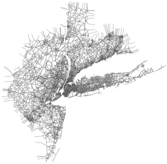
The highway network represents the linkages and characteristics of the street and highway system in order to support estimation of traffic volumes, traffic speeds, and vehicle travel times on individual links of the system plus zone to zone travel times.
The NYBPM
model includes: 22.3 million people and over 8 million households (28 county
model area) 72.8 million trips, nearly 12 trip purposes, 4 time periods, 12
travel modes, and 5,418 times 5,418 multi-class trip tables. Including ramps
and centroid connectors, the 2019 Base Year highway network consists of over 88,000
links representing more than 36,000 miles of roadways.
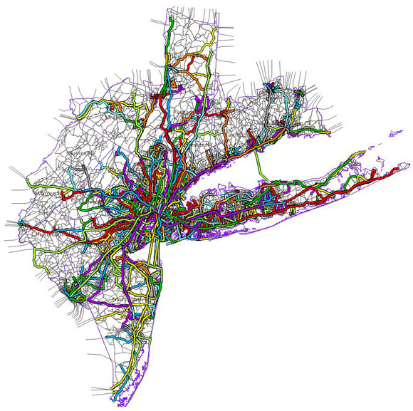
Transit Network

The transit network represents the connectivity,
headways, speeds, and accessibility of the transit service to support
estimation of travel times and passenger volumes. The route system has about 7,020
transit segments and over 51,500 transit stops.
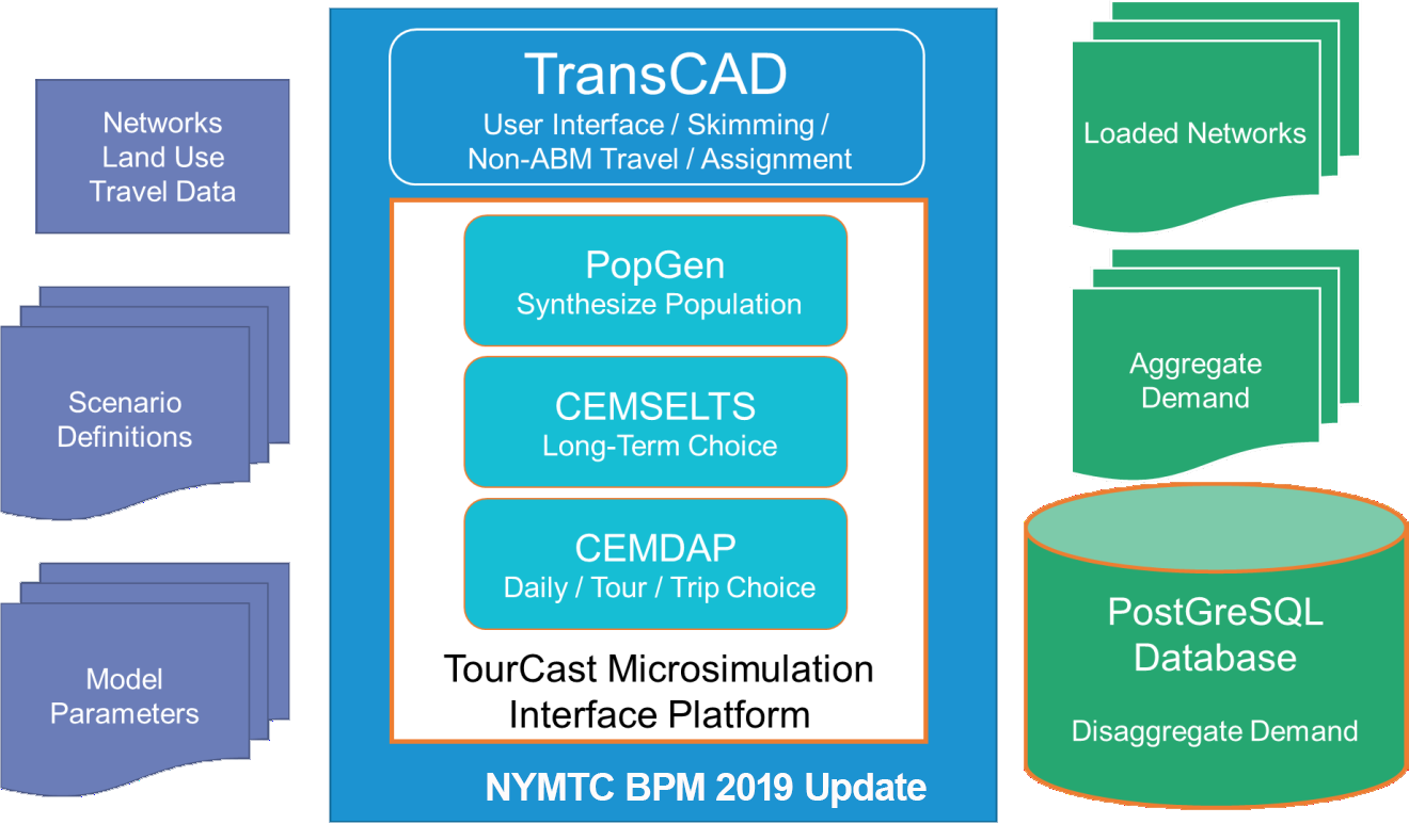
Model Flowchart
Diagrams the inputs for processing and validating input data
